All projects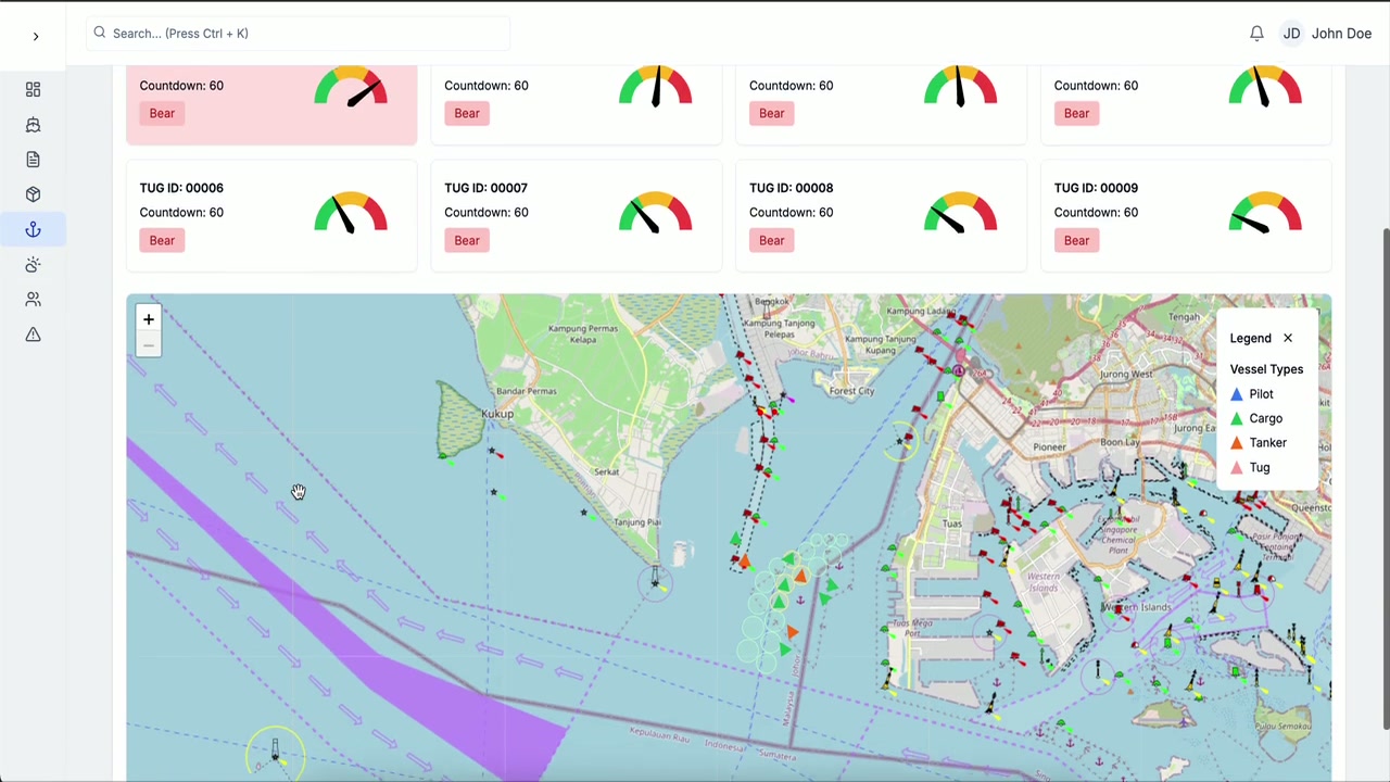
Maritime SaaS
Maritime GIS / Vessel Monitoring
2024 · Completed · Professional project
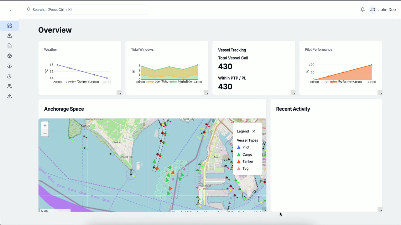
Maritime surveillance modules integrating GIS Core, AtoN management, vessel monitoring, and AIS-based tracking.
Overview
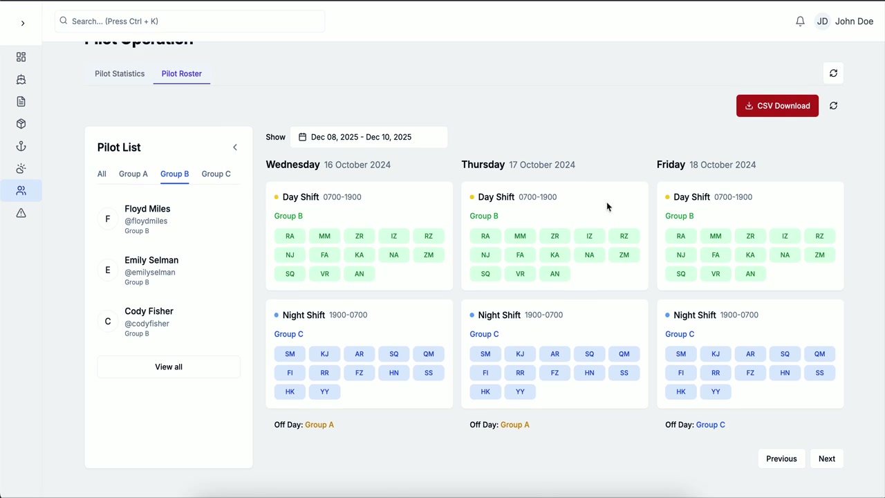
I architected and delivered 4 maritime surveillance modules (GIS Core, AtoN management, vessel monitoring, and AIS-based tracking) with zero backend integration failures on handover. The work included responsive React dashboards, REST API integration, and coordination with backend developers to maintain reliable real-time data flows across map, vessel, and AtoN systems.
Key features
- GIS Core integration
- Aid to Navigation management
- Vessel monitoring dashboards
- AIS-based vessel tracking
- Responsive maritime asset interfaces
- Map, vessel, and AtoN API integration
Tech stack
React · JavaScript · Tailwind CSS · REST APIs · GIS · AIS
Project info
- Year
- 2024
- Duration
- August 2023 - January 2025
- Team
- Cross-functional product team
- Role
- Software Engineer
- Status
- Completed
- Category
- Maritime SaaS
Gallery